

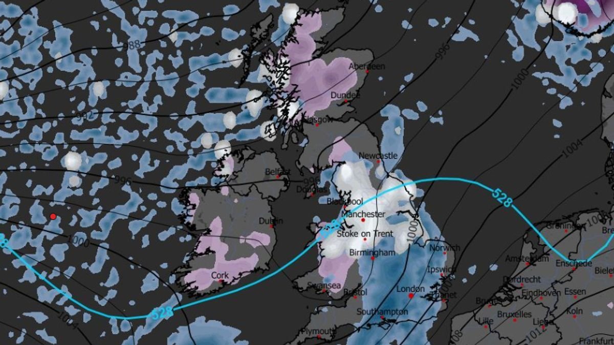

Following the recent disruption caused by Storm Goretti, a prolonged period of snow is expected to hit the UK in the coming days. The Met Office issued warnings for snow, ice, wind, and rain during the chaos brought by Storm Goretti, including a rare red wind warning in the south-west where a tragic incident resulted in a man’s death due to a fallen tree on a caravan.
Advanced weather models now indicate that additional snowfall is anticipated after the weekend, with initial flurries affecting parts of northern England and Scotland on January 18. The forecast shows a significant weather front moving in from the Atlantic early in the morning, bringing heavy rain to various low-lying areas across the nation.
Subsequent maps for January 19 highlight further snowfall across several regions, including the south-west of England, Wales, the Pennines, the Yorkshire Dales, and western Scotland. Particularly in Scotland, snowfall rates could reach up to four inches per hour based on the data.
On January 20, an additional round of snow is predicted, targeting large areas of the Midlands and northern England around 6 am. Cities like Manchester, Liverpool, and Stoke-on-Trent might experience snowfall at a rate of one inch per hour during this period.
Snow depth projections for midday on January 20 suggest that parts of northern Scotland could accumulate a substantial 40cm (16 inches) of snow on the ground, while Wales and northern England might see accumulations of 7cm (three inches) and 6cm (two inches) respectively.
BBC Weather forecasts also indicate the potential for more snow later in the month, with a focus on higher ground in northern Scotland due to a potent low-pressure system approaching. The forecast for the upcoming week suggests occasional wintry showers in northern regions, mainly in Scotland, as well as near or above normal precipitation amounts for most areas.
Moreover, the Met Office has issued an amber snow warning for today in the Highlands, along with three additional rain warnings for Scotland and Northern Ireland over the weekend. Met Office Chief Forecaster Rebekah Hicks emphasized the transition into a milder air mass on Sunday, ending the cold spell experienced at the beginning of the year. She highlighted the likelihood of notable snow accumulations in Scotland, with parts of the Highlands expected to receive an additional 20-30cm of snow, accompanied by strong winds and potential freezing rain, leading to hazardous conditions and a risk of flooding. Stay updated with the forecast and advice from local authorities as severe weather warnings remain in effect.