


Scientists have revealed striking new maps showcasing a unique perspective beneath the icy surface of Antarctica. While the Moon’s surface was better understood than the subglacial landscape of Earth’s fifth-largest continent, a team of researchers has generated the most intricate map to date of the terrain concealed deep beneath the Antarctic Ice Sheet. This detailed map exposes a complex hidden world of mountains, valleys, and river beds, which could be vital for predicting future sea-level rise.
Published in the journal Science, the study involved meticulous efforts to digitally remove the ice, unveiling geological features that have been unseen for millions of years. Professor Robert Bingham, a glaciologist at the University of Edinburgh and co-author of the study with the University of Grenoble-Alpes, expressed his excitement, stating, “I’m just so thrilled to observe that and witness the entire bed of Antarctica in one go. I find that astonishing.”
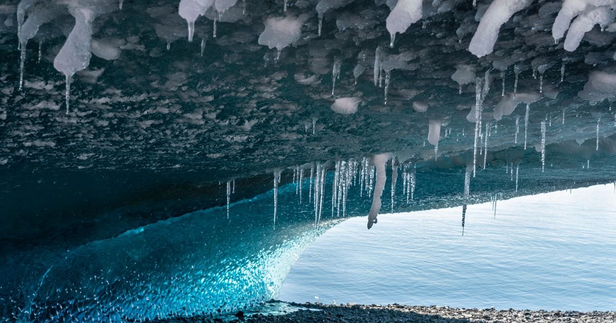
Several newly-released maps depict a landscape reminiscent of the dramatic Alps, concealed beneath the Antarctic glaciers. These maps display elevation below or above sea level, showcasing significant variations over thousands of miles and prominent peaks. Additionally, they reveal the presence of ice caves within many of Antarctica’s glaciers.
One map delves beneath Antarctica’s notable landmarks, such as the Hercules Dome and Zhigalov Subglacial Highlands. Through the analysis of high-resolution satellite images of the ice surface, scientists identified subtle irregularities that mirror the rugged terrain lying kilometers below.
This groundbreaking research will provide valuable insights into the potential ice melt from each glacier as temperatures continue to rise. By offering a detailed depiction of the various landscapes across Antarctica, researchers aim to enhance their understanding of the continent’s diverse topography.