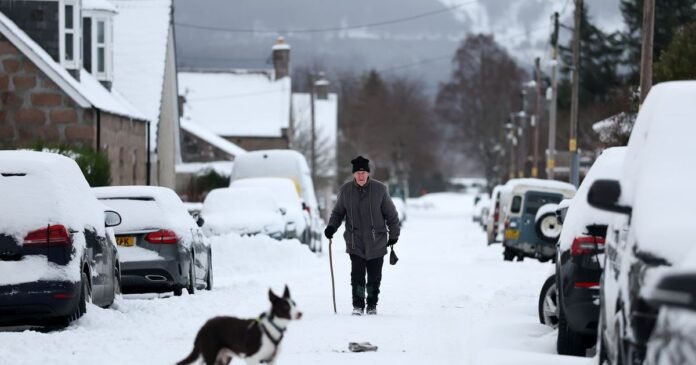
The Met Office has issued amber weather warnings indicating a “danger to life” as parts of the UK prepare for significant snowfall. Tomorrow, alongside four yellow warnings for snow and ice, a fifth yellow warning for ice will be in effect. The amber warnings will be active from 11am until 7pm, covering large areas of Scotland, including Central, Tayside & Fife, Grampian, and Highlands & Eilean Siar. These regions may experience an additional 5 to 10cm of snow widely, with up to 15cm on higher ground, on top of the accumulation from Monday.
According to the Met Office, a heavy snow spell is expected to move eastward across central and northern Scotland on Tuesday, transitioning to wintry showers by Tuesday night. The national weather service strongly advises against driving in snowy and icy conditions unless absolutely necessary to avoid risking personal safety or that of others. With a potential for power outages, individuals are urged to prepare by having torches, a mobile phone power pack, and other essential items at hand. Additionally, it is recommended to check on vulnerable individuals, including the elderly, those with underlying health issues, and individuals living alone.
The alerts for snow and ice are expected to clear by late morning for most of the country, with three of the alerts active from midnight until 11am. However, the warning for snow and ice in central and northern mainland Scotland will remain in place throughout the day. In Northern Ireland, a separate ice warning is effective from 5pm today (Monday) until 10am tomorrow (Tuesday).
The Met Office’s five-day forecast from Monday, January 5, to Friday, January 9, predicts continued cold weather with snow showers in some areas. Tuesday is anticipated to be another cold day with a mix of rain, sleet, and snow in the north. The south will experience drier conditions with sunny skies, before precipitation in the form of rain, sleet, and snow moves in during the evening.
